While creating training courses for Esri, I often needed to create datasets and GIS content for use in exercises and demonstrations. I have created dozens of web maps, web apps, map layers, and 3D scenes. Here are a few recent pieces of GIS content that I have created.
Seven Summits Story Map
Several years ago I created an instructor-led workshop titled user workflows with ArcGIS online. One of the lessons in that course demonstrated how to create story maps.

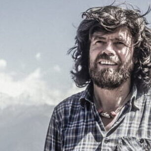
Photo by Udo Bernhart
I wrote a series of steps that the instructor would follow to create a story map that describes the summits on each of the seven continents, as described by the legendary Reinhold Messner.
The lead instructor for this course commented that she received a round of applause when she finished this demonstration.
The Story Map in the link below is provided as an example of what the end product would look like.
View this Story Map in a new tab.
Southern New Mexico Mountain Center
This is a fictitious organization that I created as part of an exercise for a course I created titled Creating Apps with AppStudio.

I needed to have a plausible reason for students to access an organization’s AppStudio app gallery and I needed to create apps for the gallery to display.
I didn’t have much time: in about 8 hours I created three apps. For each app, I created a unique GIS dataset and designed branding and logos.
View this group and its associated GIS content and branding in a new tab.